- Funchal
- Levada dos Balcões
- Miradouro do Cabouco
- Miradouro das Cruzinhas
- Santana typical houses
- Parque Florestal do Pico das Piedras
- Levada do Caldeirao Verde
- Parque Florestal das Queimadas
- Quinta Do Furão Restaurant
- Ponta de Sao Lorenço
Click here to get the walking route in your Google Maps:
https://goo.gl/maps/g2pug1GpGmAKfpuh8
Levada dos Balcões
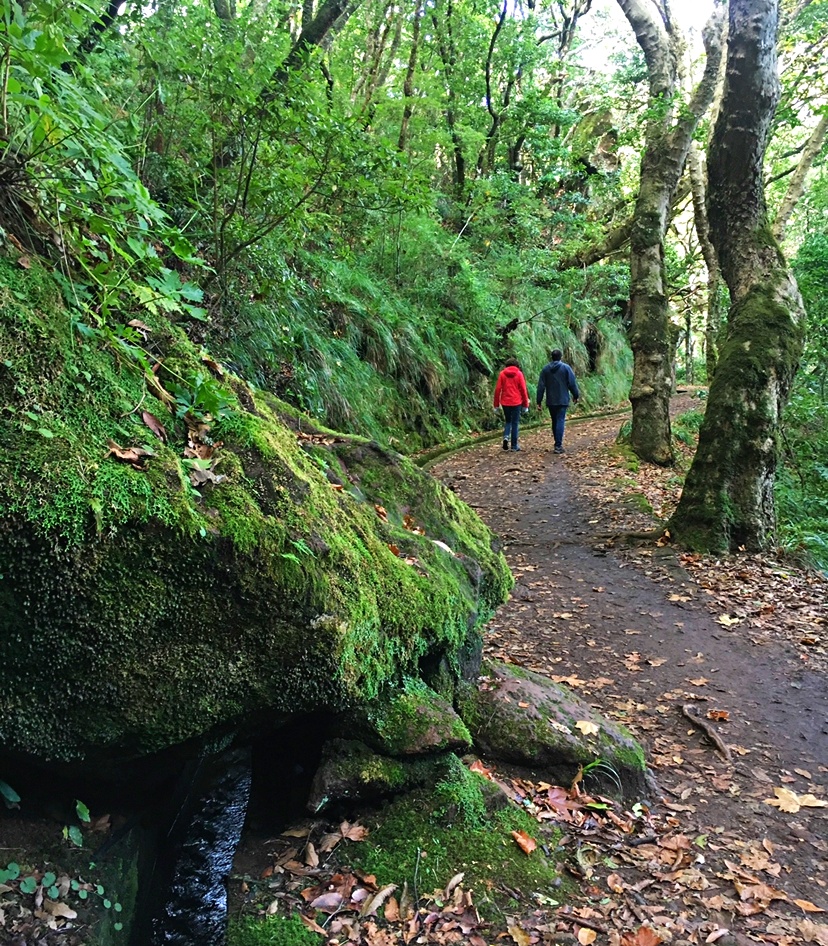
Walking the levadas 👣Levadas are small irrigation canals where you can walk through, allowing you to reach many wonderful places of the island where you will encounter breathtaking landscapes. Their total extension is approximately 3.000 km.
Feel the Nature 🌿 The use of levadas in Madeira resulted from the need to bring large amounts of water from the north-facing springs where it is abundant, to the south side of the island. The levadas began to be built in the sixteenth century and the most recent ones date back to the 1940s, supplying water to hydroelectric power plants and also used for irrigation purposes, but the best part is to walk and discover them!
Miradouro do Cabouco
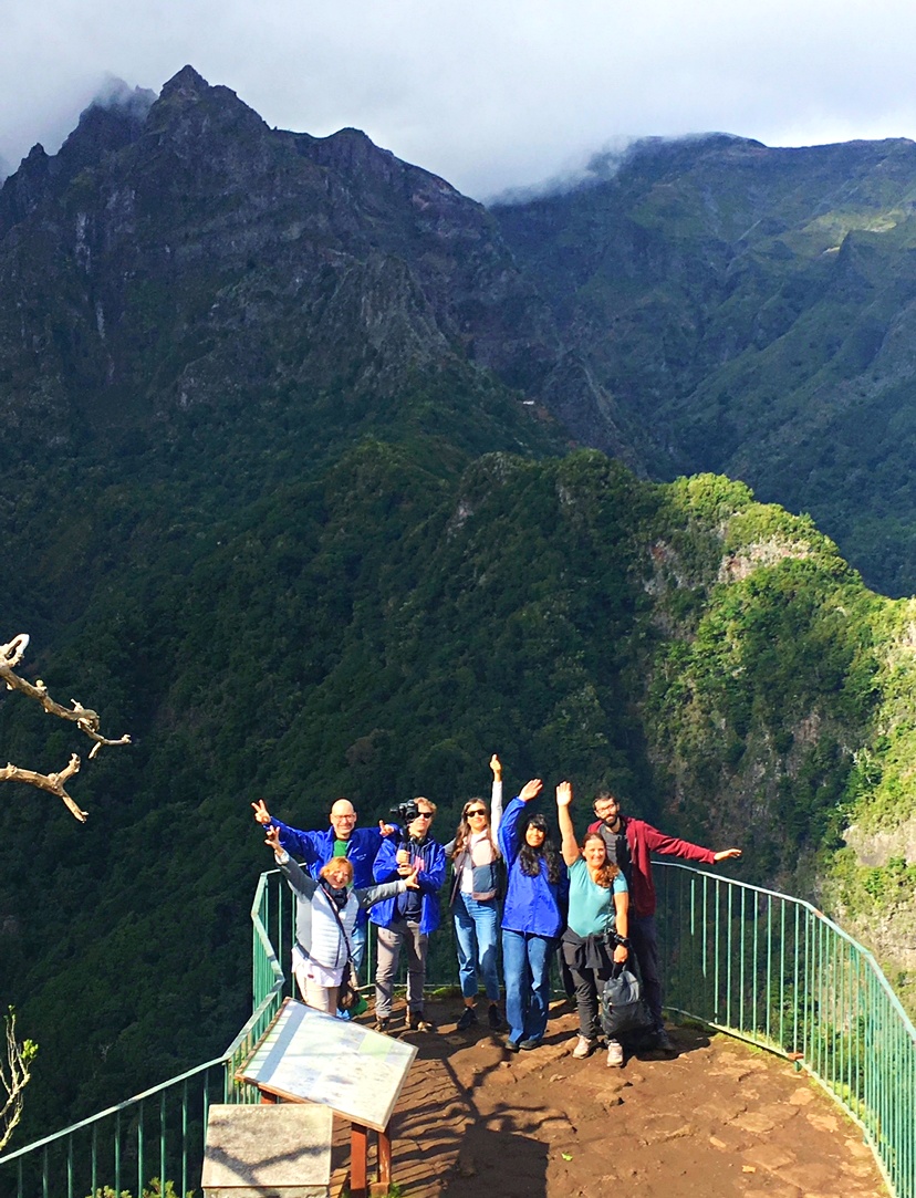
Nice viewpoint to admire the pure essence of Madeira.
Miradouro das Cruzinhas
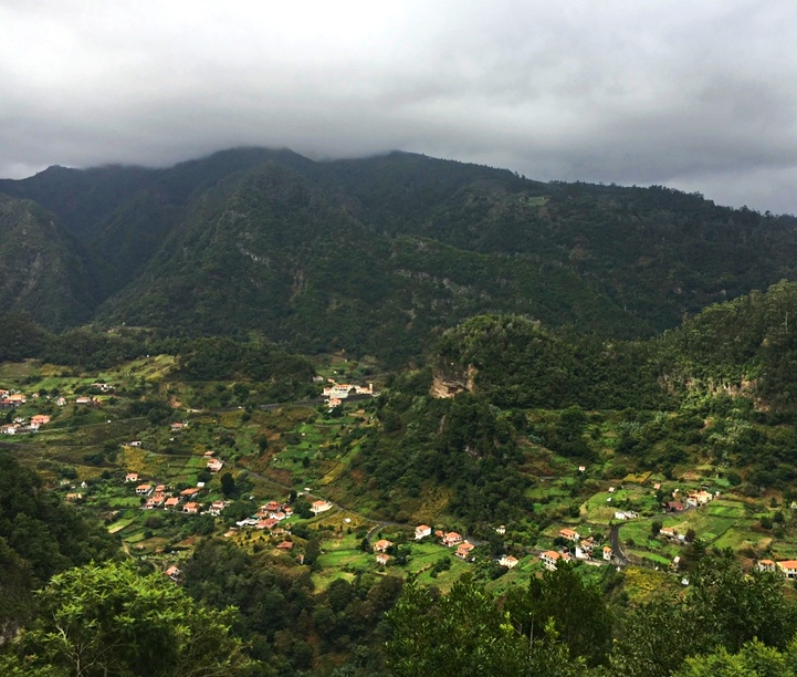
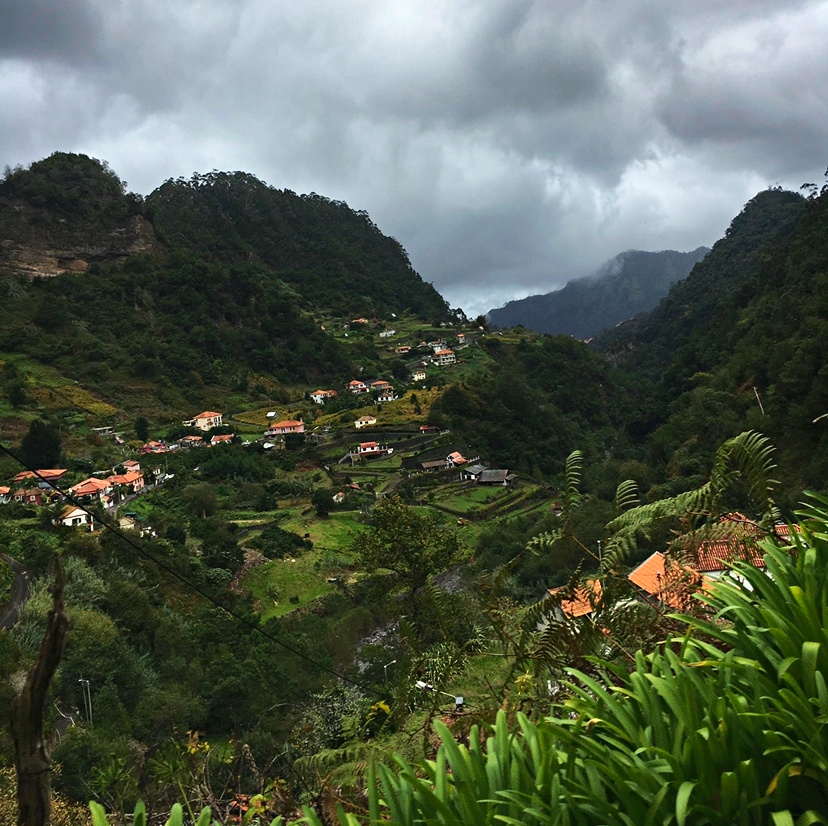
This island is beautiful from every point of view!
Santana typical houses
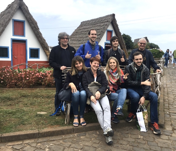
These colorful and curious houses are typical from Madeira, built of natural stone and thatched with straw. You will find them around the island but the best place to see them is in the village of Santana.
Parque Florestal do Pico das Piedras
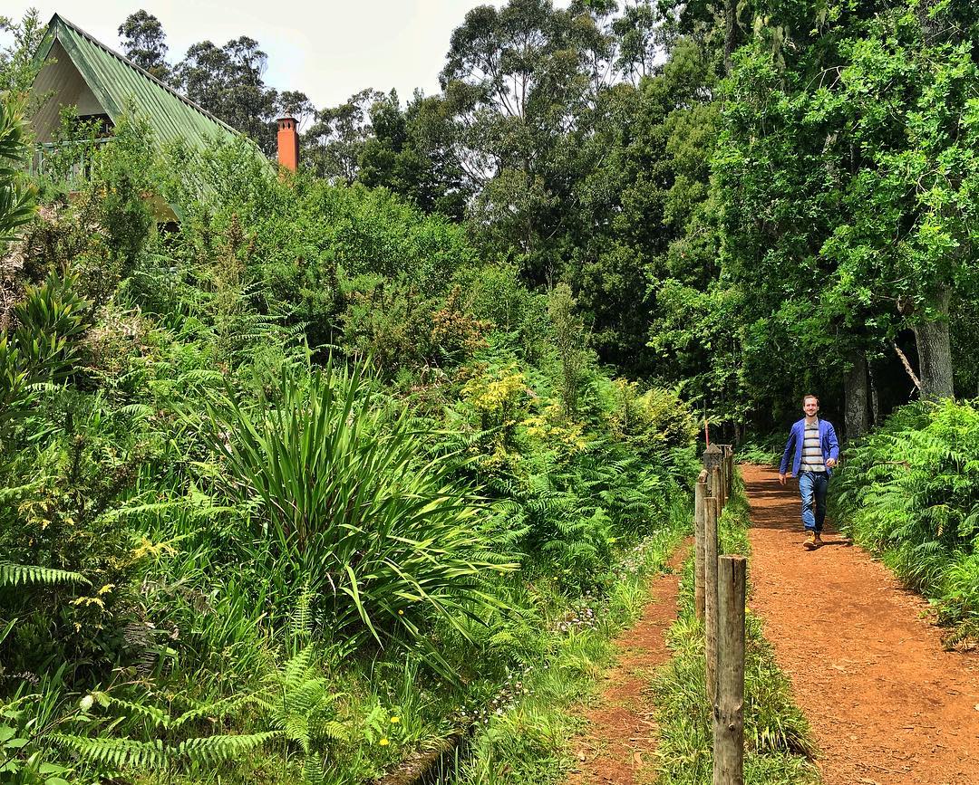
Here there is a parking where you can drop your car and you can start the Levada do Caldeirao Verde.
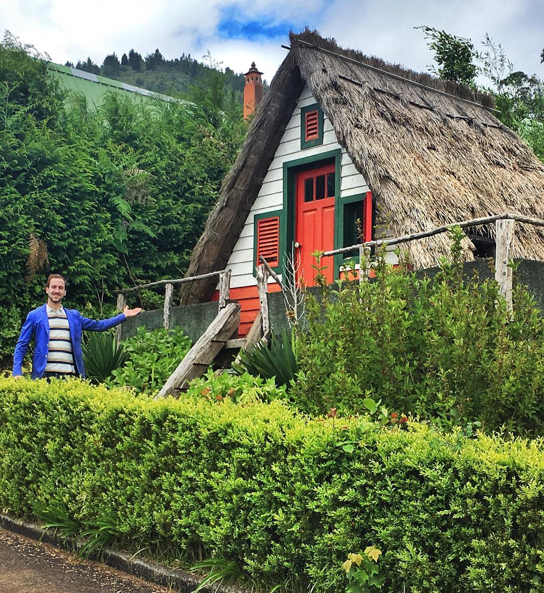
This is my new house? We will never know! I am wearing pants? We will never know!
Levada do Caldeirao Verde
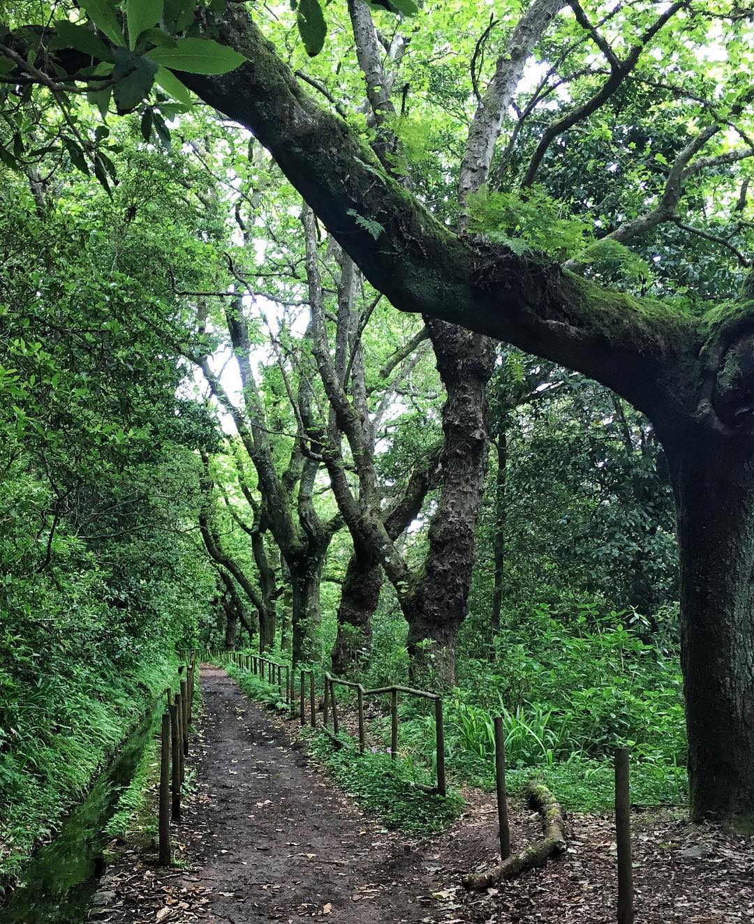
This levada will bring you to deep green and amazing nature.
Parque Florestal das Queimadas
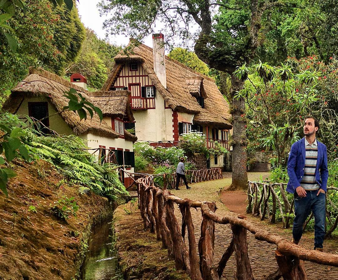
Here is ending the Levada do Caldeirao Verde, so you can come back to get your car or continue the route from here.
Quinta Do Furão Restaurant

Great restaurant with delicious menu and fabulous views!
Ponta de Sao Lorenço
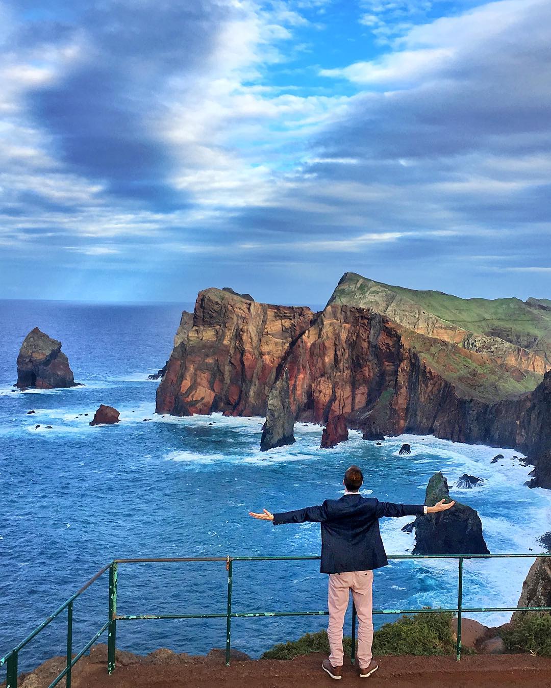
Ponta de Šao Lourenço is a peninsula with volcanic origin, mainly made of basalt, although there are also some limestone sediment formations, and classified as a natural reserve. The semi-arid climate and its exposure to north winds have sculpted the low vegetation and explain the lack of trees, which distinguish this area from the rest of the Island. You can do trekking by 8km, go and return, with a moderate difficulty in around 2h30mins.